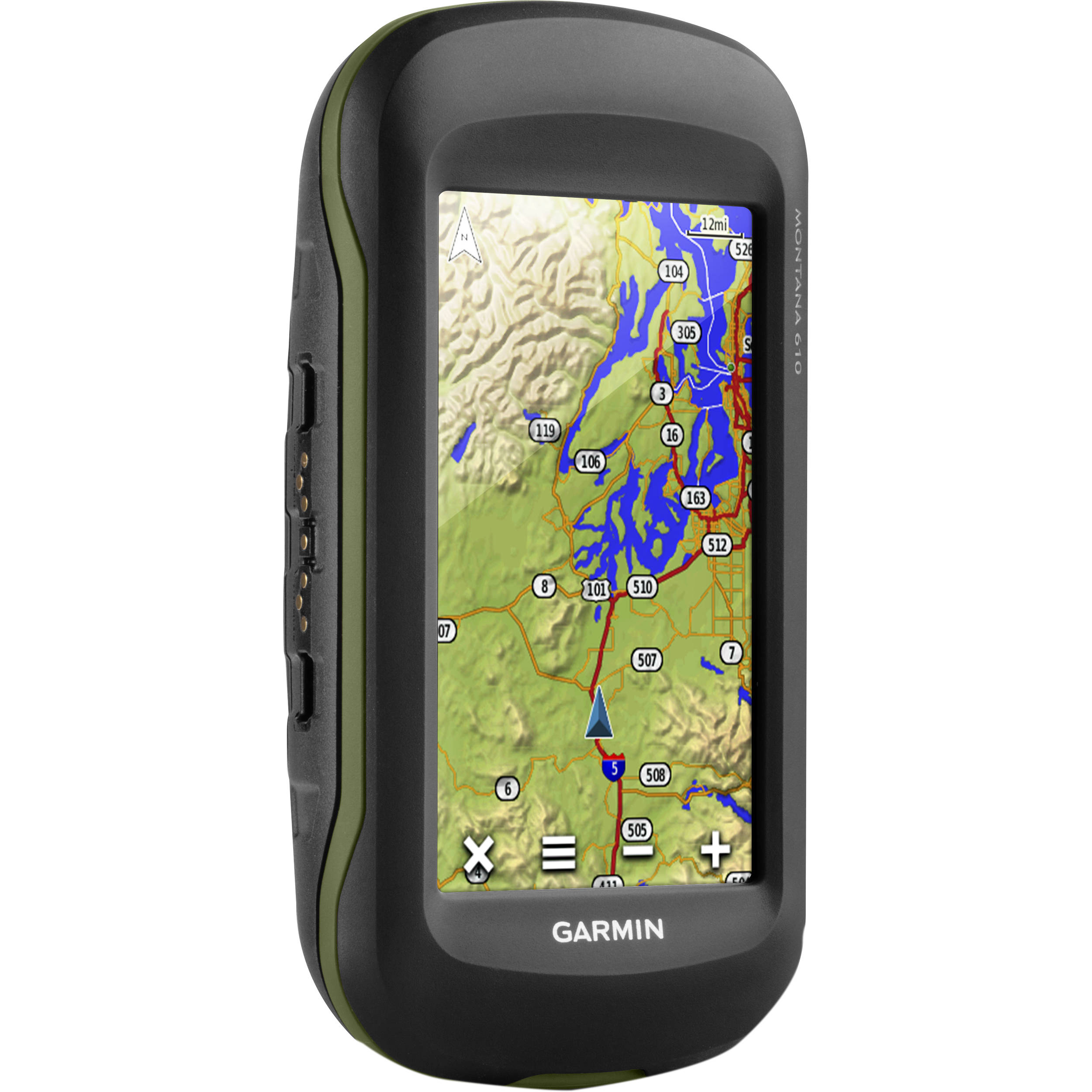
BASIC PRINCIPLE OF GLOBAL POSITIONING SYSTEM (GPS)

GPS uses these man-made stars or satellites as reference point to calculate geographical position. GPS is a system of position, navigation and timing. (PNT).
GPS is made up of three segments.
- Space Segment:
The space segment consist of the number of satellites in the constellation. It comprises of 29 satellites orbiting the earth every 12 hours at 12,000 miles in altitude. the function of the space segment is utilized to route signals and to store and re-transmit the route message sent by the control segment. The GPS space segment is formed by a satellite constellation with enough satellites to ensure that the user will have, at least, 6 simultaneous satellites in view from any point at the Earth surface at any time.
2. Control Segment:
The control segment or also referred to as monitor station, comprises of a master control station and five monitor stations outfitted with atomic clocks that are spread around the globe. The five monitor stations monitor the GPS satellite signals and then send that qualified information to the master control station where abnormalities are revised and sent back to the GPS satellites through ground antennas.
3. User Segment:
The user segment comprises of the GPS receiver, which receives the signals from the GPS satellite and determine how far away it is from each satellite. Mainly this segment is used for the U.S military, missile guidance systems, civilian applications for GPS is almost every field.
GPS POSITIONING
The basic principle of GPS is to allow simultaneous distance measurement ( ranging to all visible satellites from one or several receivers which maybe stationary on earth or on moving vehicle). the principle is to be measure range distance called pseudo-ranges between the satellite and the GPS receiver. It is pertinent to introduce the term mask angle ; this is the angle above the horizon below which the GPS receiver will not search for satellite, the GPS will not track any satellite below mask angle(15⁰), the reason for using mask angle is to minimize tropospheric effect on the propagated signal because the effects are unpredictable for altitude within the mask region.
APPLICATION OF THE GPS
- GPS has been used to pin-point any ship or sub-marine on the ocean, and to measure mount Everest.
- GPS survey has been effectively used in
- establishing control Network.
- Densification of Controls
- Monitoring tectonic movement.
- Photo pointing.
- Engineering works.
- Hydrographic surveying.
- GIS integration.
also application of GPS technology are numerous and varies according to profession.
FIELD METHODS OF GPS SURVEY
- Static Mode:
Here the roving receiver is stationary at the required station for a period of 20 minutes, it is more accurate and economical than the conventional method.
- Rapid Static
Here the roving receiver moves from point to point for few minutes like 5- 10 minutes of observation.
- Reoccupation Static:
In this mode the roving receiver occupies each point for a few
